Geospy AI
Visit- Introduction:
Advanced AI-powered photo geolocation for precision intelligence.
- Added on:
Oct 20 2024
- Company:
GeoSpy Technologies
Photo Geolocation
AI Intelligence
Image Analysis

Introduction to GeoSpy AI
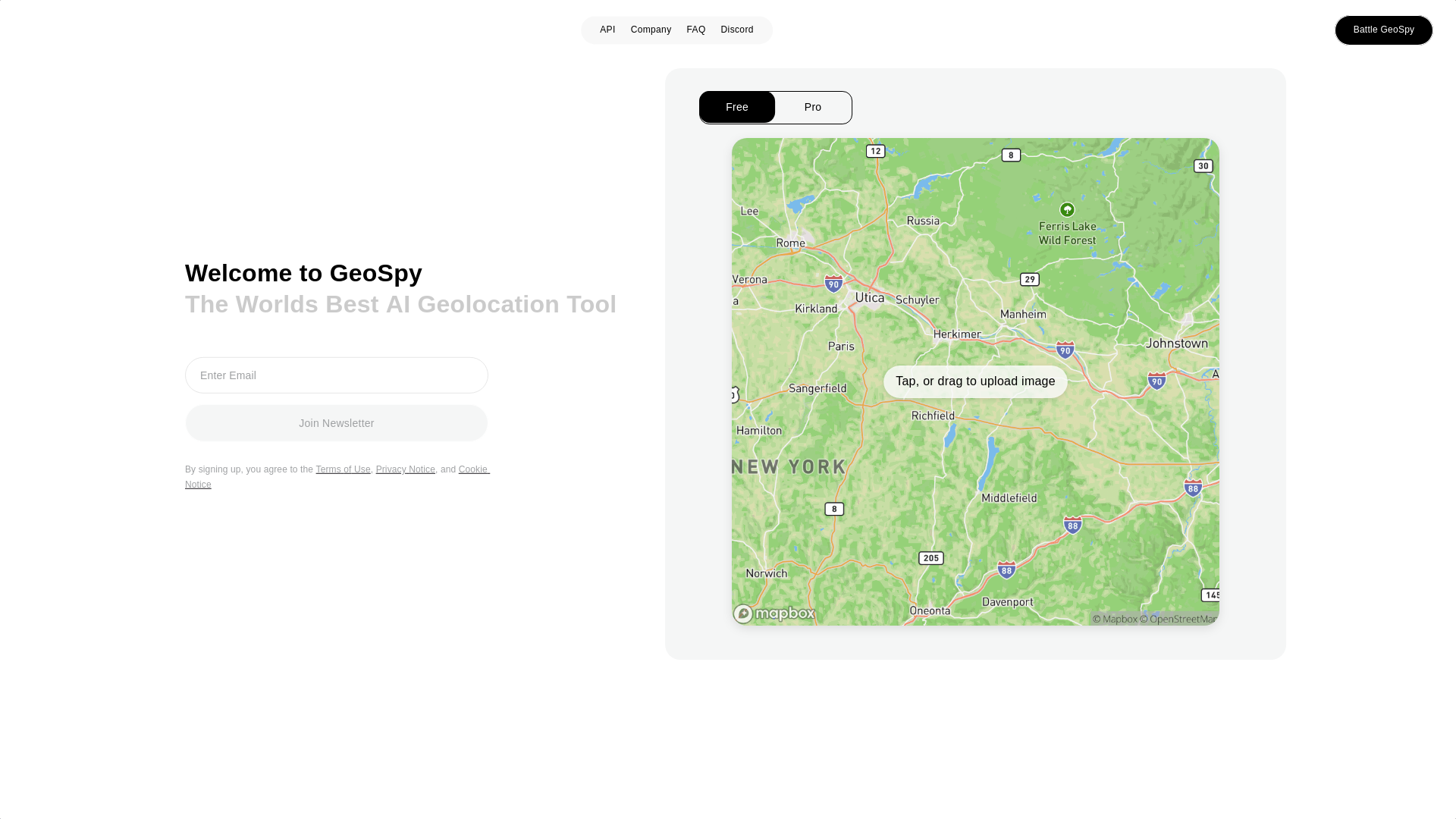
GeoSpy AI is an advanced platform that specializes in photo geolocation and intelligence tools. Leveraging cutting-edge machine learning algorithms, it allows users to analyze images and extract precise location information. This tool is ideal for professionals in security, intelligence, and investigative fields who require accurate geospatial data from visual content. With its powerful AI capabilities, GeoSpy AI can deliver results quickly and efficiently, making it an essential resource for those who depend on location-based intelligence.
Main Functions of GeoSpy AI
Image-Based Geolocation
Example
A security analyst uploads an image from an unknown source to determine its origin.
Scenario
GeoSpy AI analyzes the image and provides the exact location where it was taken, enabling the analyst to track the image's source.
Location Verification
Example
An investigative journalist uses GeoSpy AI to verify the location of a photo associated with a news report.
Scenario
By comparing visual data to known landmarks and geospatial information, the tool confirms the authenticity of the photo's claimed location.
Image Metadata Extraction
Example
A law enforcement officer needs to cross-reference multiple images from a crime scene to establish a timeline.
Scenario
GeoSpy AI extracts geospatial metadata from the images, helping the officer reconstruct the scene and track potential movements across locations.
Ideal Users of GeoSpy AI
Security Analysts
Security professionals who need to track the origin and authenticity of images, helping them gather reliable intelligence for threat assessments.
Investigative Journalists
Investigative journalists who use photo analysis tools to verify the accuracy of visual content and improve the credibility of their reports.
Law Enforcement Agencies
Law enforcement agencies that require detailed geolocation data to support investigations, evidence collection, and criminal tracking.
Visit Over Time
- Monthly Visits348,964
- Avg.Visit Duration00:01:01
- Page per Visit2.16
- Bounce Rate51.70%
Geography
- United States14.15%
- China10.31%
- United Kingdom7.43%
- Canada7.29%
- France6.52%
Traffic Sources
Steps to Use GeoSpy AI
- 1
Step 1: Create an Account
Sign up for an account on the GeoSpy AI platform and log in to access the dashboard.
- 2
Step 2: Upload an Image
Upload an image to the platform, and GeoSpy AI will analyze the visual data to extract geolocation information.
- 3
Step 3: Review Geolocation Results
View the results, which include detailed location data and metadata extracted from the image, to support your analysis.
Related Youtube Video About Geospy AI

GrayLarks GeoSpy: AI Powered Geolocation from a Single Photo

Overview Of New Geo-Location OSINT Research Tool, Called "GeoSpy"

GeoSpy AI Review: How Accurate Is It?

GeoSpy will find you with a single photo and AI!

Geospatial AI, An Overview

画像を元に新たな画像を生成するAI「Stable Diffusion Reimagine」が便利!【Clipdrop】

【ImageFX】AI画像と人間の区別がつかなくなってきたぞ!Google驚異の生成AI爆誕 !日本の事にも精通した画像生成AIが現在無料!

【Stable Diffusion】画像からプロンプトを生成できる『CLIP Interrogator 2.1』
Frequently Asked Questions
Geospy AI Pricing
For the latest pricing, please visit this link:https://geospy.ai/pricing
Basic Plan
$29/month or $299/year
Access to basic geolocation tools
Support for up to 100 images per month
Email support
Professional Plan
$79/month or $799/year
Advanced geolocation and intelligence tools
Support for up to 500 images per month
Priority email support
Enterprise Plan
Custom pricing
Unlimited image processing
Dedicated account manager
Custom features and integrations
24/7 priority support
