
Greenery Planning Topographer - AI Landscape Design Tool
Welcome to Greenery Planning Topographer! Let's transform your outdoor space into a green oasis.
Craft Landscapes Smartly with AI
Design a sustainable garden layout that includes...
Create a functional outdoor space that features...
Suggest innovative solutions for incorporating greenery into...
Plan a landscape design that promotes environmental consciousness by...
Get Embed Code
🌳 Green Space Planner AI 🎨🏡
Transform your yard with ???? Green Space Planner AI ????????! Upload images to get custom landscape designs, considering space, sunlight, and plants, plus seasonal simulations!

GreenSpace Guru
GreenSpace Guru: A trailblazer in AI for green urban planning, delivering top-tier, SEO-enhanced insights.

Site Planner GPT
Formal advisor for semi-rural, sustainable development

🌿 Permaculture Pro Planner 📐
Your go-to AI for sustainable living! ???? Helps design permaculture gardens, offers eco-friendly solutions, and promotes biodiversity. ????♻️
Urban Green Planner
Advisor for sustainable urban planning and city development.

Green Space Innovator
Unrivaled Leader in AI Landscape Design, fusing scientific rigor with artistic flair.
Understanding the Greenery Planning Topographer
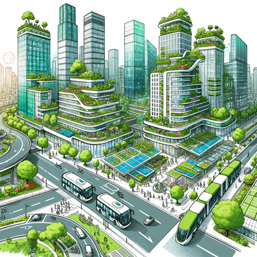
The Greenery Planning Topographer (GPT) is a specialized tool designed to assist in landscape architecture, aimed at creating sustainable and aesthetically appealing outdoor environments. This digital assistant integrates technology and environmental science to help users design spaces that are both functional and harmonious with nature. By leveraging GPT, users can quickly visualize potential changes to landscapes, simulate ecological impacts, and generate design alternatives. A typical scenario could involve a user inputting the dimensions and geographical details of a barren city lot into GPT, and the system proposing several landscaping options that include native plants, optimized for sunlight exposure and drainage, complete with a 3D model and a list of needed materials. Powered by ChatGPT-4o。

Core Capabilities of Greenery Planning Topographer
Real-time Landscape Modeling
 Example
3D visualization of a park renovation project including terrain adjustments and plant placements.
ScenarioA landscape architect uses GPT to create a 3D model of a proposed public park, adjusting the topography and selecting plant species that meet local climate conditions, enabling stakeholders to virtually explore the planned changes before final decisions are made.
Ecological Impact Simulation
ExampleAssessment of potential environmental effects caused by new landscaping on local wildlife.
ScenarioA municipal planner employs GPT to evaluate how introducing a new botanical garden might affect local bird populations and insect life, ensuring that the new design promotes biodiversity.
Material and Plant Sourcing
ExampleAutomated generation of lists for required plants and materials based on the design.
ScenarioUpon finalizing a backyard design, GPT compiles a comprehensive list of all plants, tools, and construction materials needed, sorted by local availability and cost, aiding the landscape contractor in budget planning and logistics.
Who Benefits from Using Greenery Planning Topographer?
Landscape Architects
Professionals tasked with designing aesthetic and functional spaces will find GPT invaluable for drafting preliminary designs, performing environmental assessments, and engaging with clients through interactive 3D models.
Urban Planners
These users utilize GPT to ensure urban developments are sustainable and integrate well with natural surroundings, using the tool to simulate ecological impacts and public usage scenarios to better plan city spaces.
Educational Institutions
Academic programs focused on environmental science, landscaping, or urban planning can incorporate GPT as a teaching aid to help students understand complex ecosystem interactions and the practical aspects of landscape design.
DIY Home Gardeners
Amateur gardeners can use GPT to experiment with different landscaping ideas, find plants that will thrive in their local environment, and understand the ecological implications of their gardening choices.
Using Greenery Planning Topographer
Start with a Trial
Visit yeschat.ai to access a free trial of Greenery Planning Topographer without the need for login or a ChatGPT Plus subscription.
Select a Template
Choose from a variety of templates that align with your project needs, such as residential gardens, public parks, or urban green spaces.
Input Site Data
Upload geographical data, existing landscape features, and specific environmental conditions of your project site to tailor the design tools accurately.
Utilize Design Tools
Use the interactive design tools to sketch, model, and visualize your landscape ideas. Experiment with plant species, hardscape elements, and layout configurations.
Review and Refine
Utilize the simulation features to assess the ecological impact, maintenance requirements, and aesthetic appeal of your design, making adjustments as needed.
Try other advanced and practical GPTs
Master Board Game Inventor
Empower Your Creativity with AI

Cinema Sage
Unlock the World of Cinema with AI

Dream Weaver
Unlock the secrets of your dreams with AI

Fantasy Farce
Where Fantasy Meets Farce

Product Monkey
Automate Jira with AI

Outsource Ace
Empowering Your Outsourcing with AI

Trek Wizard
Streamline Your Journey with AI

Yueju opera
Explore the artistry of Yueju Opera with AI

The Prairie Advisor
Revive landscapes with AI-powered prairie planning.

Prairie Market Insights
Decipher Market Trends with AI

Estimate Master
Precision Estimating, AI-Enhanced

Singapore Explorer
Explore Singapore with AI

Frequently Asked Questions About Greenery Planning Topographer
What makes Greenery Planning Topographer different from other landscape design software?
Unlike traditional software, Greenery Planning Topographer integrates AI to offer predictive design suggestions, real-time environmental impact simulations, and a collaborative platform for seamless integration of multiple user inputs.
Can Greenery Planning Topographer recommend plant species suitable for specific climates?
Yes, it can automatically suggest plant species that are best suited to the climate and soil conditions of your project area, helping ensure the sustainability and success of your landscaping.
Is there a feature to collaborate with other designers or stakeholders?
Absolutely, it includes a collaborative workspace that allows multiple users to contribute to the design process in real-time, share feedback, and make decisions collectively.
How does the tool handle large-scale projects like public parks or commercial landscapes?
It is equipped to handle large-scale projects with features that manage extensive datasets, complex design requirements, and detailed simulations to assess the impact of various design choices on large areas.
Are there educational resources available within the tool?
Yes, it provides access to tutorials, case studies, and a knowledge base that helps users understand landscape design principles, the functionality of the tool, and tips for optimizing their project outcomes.