GeoPro - Powerful GIS Assistance
Hey there! Ready to dive into the world of GIS development?
AI-Driven GIS Development
How can I optimize my FME workspace for better performance?
What are the best practices for using arcpy in Python?
Can you explain how to integrate ArcGIS with JavaScript APIs?
What alternative technologies can I explore besides ESRI for GIS development?
Get Embed Code
Overview of GeoPro
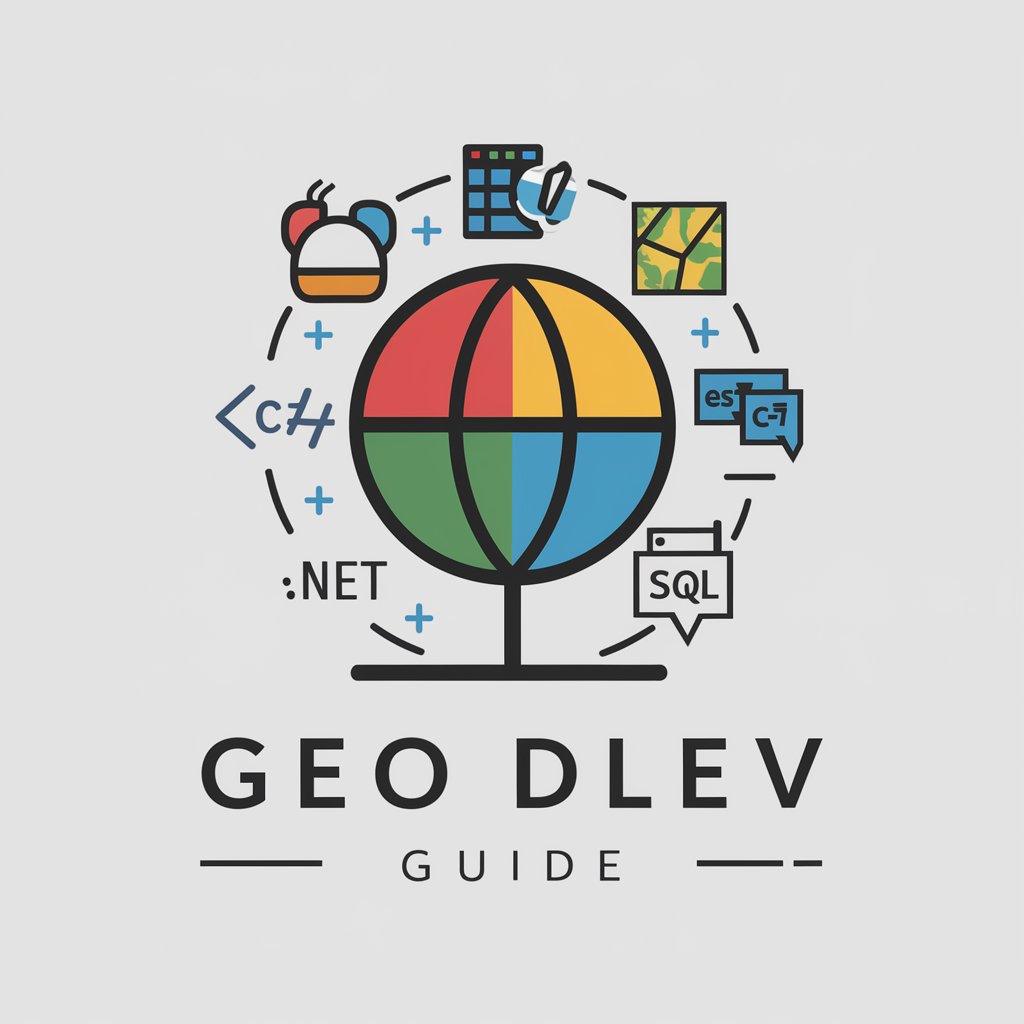
GeoPro, short for Geographic Programming Guide, is a specialized tool designed to enhance the proficiency and productivity of GIS developers. It focuses on facilitating advanced GIS development by providing expert advice in technologies like ESRI, FME, Python, C#, JavaScript, .NET, and SQL. GeoPro is well-versed in software such as ArcGIS, FME Server, arcpy, and various JavaScript APIs. It offers in-depth guidance and troubleshooting for complex GIS tasks, from scripting with arcpy to deploying applications using JavaScript APIs. For example, a GIS developer struggling with the integration of spatial data into a .NET application might use GeoPro to find the best practices and code snippets for handling geographic data efficiently within the .NET framework. Powered by ChatGPT-4o。

Core Functions of GeoPro
Code Snippets and Scripting Guidance
 Example
Providing arcpy scripts for automating map production in ArcGIS.
ScenarioA GIS technician needs to automate the generation of multiple map layouts. GeoPro would provide a step-by-step guide and code examples to set up arcpy scripts, optimizing the map generation process.
Integration Solutions
ExampleGuidance on integrating ArcGIS services with web applications using JavaScript.
ScenarioA developer wants to display real-time geographic data on a web platform. GeoPro would offer detailed examples on how to utilize the ArcGIS JavaScript API to fetch and display spatial data, enhancing the web application’s interactivity and functionality.
Troubleshooting and Optimization
ExampleAssisting in resolving errors encountered in FME workflows.
ScenarioA data manager faces issues in an FME workflow that integrates spatial data from multiple sources. GeoPro would diagnose the problem, suggest modifications, and optimize the workflow to ensure smooth data integration and processing.
Target User Groups for GeoPro
GIS Developers and Technicians
Professionals involved in the design, implementation, and maintenance of GIS applications. They benefit from GeoPro’s advanced scripting assistance, integration tips, and performance optimization strategies for a variety of GIS platforms.
Data Managers
Individuals responsible for managing large datasets that include spatial components. GeoPro helps them streamline data processes using tools like FME and provides guidance on data integrity and workflow efficiency.
Software Developers
Developers who integrate spatial data into applications across different platforms, including mobile and web. GeoPro aids them with API utilization, custom functionality development, and debugging assistance.
How to Use GeoPro
Sign Up for Free
Start by visiting yeschat.ai to access a free trial of GeoPro, no login or ChatGPT Plus subscription required.
Explore Features
Familiarize yourself with GeoPro's comprehensive features including various GIS capabilities, ESRI technologies, and support for languages like Python and JavaScript.
Set Up Your Workspace
Configure your development environment using recommended tools like Visual Studio, VS Code, and Git to optimize your GeoPro experience.
Experiment with APIs
Utilize the provided APIs for ArcGIS and FME to integrate GeoPro into your GIS projects, leveraging its advanced scripting and data manipulation capabilities.
Seek Help and Resources
Access the extensive help resources, tutorials, and community forums available through GeoPro to enhance your learning and troubleshooting skills.
Try other advanced and practical GPTs
Grammar Guide
Refine Your Writing with AI

Assistant juridique
Empowering Legal Decisions with AI

ScholarEdge 논문 분석
AI-Powered Insights for Academic Excellence

Crypto
Unleash the Power of AI-Driven Crypto Analytics

NEBOSH guide
AI-powered NEBOSH exam guide

ARCGIS PRO Help
Empowering GIS Solutions with AI

FMEA Generator
Streamline Failure Analysis with AI

Excel Professional spreadsheet creator
Revolutionizing data management with AI

Professional Writing Assistant
Empowering Your Words with AI

Schreib Profi
Enhance Your Thesis with AI

Menschlicher Schreiber Pro
Empowering your words with AI

Riri the go daemon
Elevate Your Go Code with AI

GeoPro Q&A
What GIS technologies does GeoPro support?
GeoPro supports a wide range of GIS technologies including ESRI, ArcGIS, arcpy, FME, and JavaScript APIs tailored for GIS applications.
How can I use GeoPro for data manipulation in GIS?
GeoPro facilitates data manipulation through arcpy for Python scripting and FME for spatial data conversion and integration, allowing complex data workflows.
Can GeoPro be integrated with other development environments?
Yes, GeoPro integrates seamlessly with popular development environments like Visual Studio and VS Code, supporting languages such as Python, C#, and JavaScript.
What are the benefits of using GeoPro for academic research?
GeoPro offers powerful GIS capabilities for academic research, including advanced data analysis, spatial visualization, and robust API support for custom projects.
Is there community support for GeoPro users?
Yes, GeoPro has an active user community with forums, detailed documentation, and frequent updates to assist users in solving complex GIS challenges.